Reduce liability through better visibility
Transform how you manage property risk with real-time collaboration, interactive mapping, and streamlined compliance reporting.
- Manage site portfolios and risk assessments
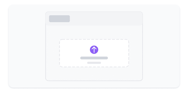
- Collaboratively annotate and track issues on interactive maps
- Collect and visualize field hazard data
- Drive down liability and insurance risk through improved visibility
Everything you need to go from site to certainty
Minimal UI. Clear workflows. Powerful results.
Why choose HazMap
What teams say
“We shipped in days instead of weeks. HazMap is now our planning source of truth.”
“Boundaries and hazards finally live together. Compliance reports are a click.”
“The UI is clean and obvious. New hires are productive on day one.”
Simple, transparent pricing
Start free. Scale as you grow.
- Unlimited sites
- Boundary editing
- CSV/GeoJSON import
- Everything in Starter
- Hazard tracking
- Compliance export
- SSO & audit logs
- Advanced roles
- Priority support
Built for every role in property risk management
Whether you own, maintain, or assess properties, our platform adapts to your workflow
Making compliance simpler than ever
From site setup to hazard reports—manage, document, and share everything without the busywork.
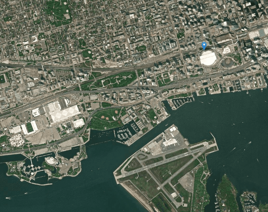
Upload site data or sketch boundaries in minutes. No GIS degree needed.
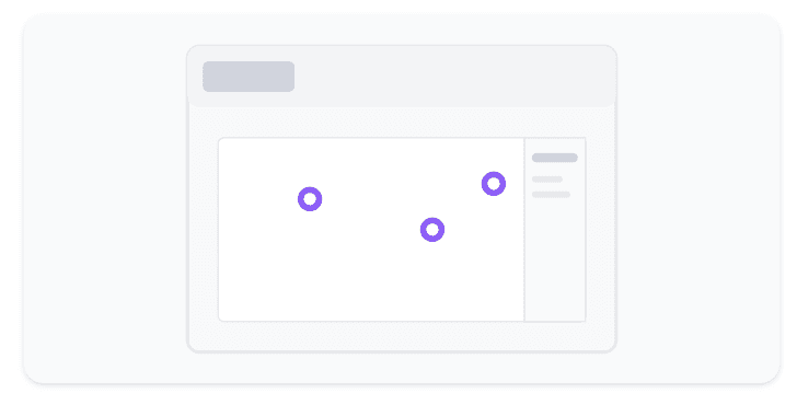
Add hazards, notes, and files with clean, consistent structure.
Export reports or hand off to the team with zero copy/paste.
FAQ
Can I import my existing data?
Yes. We support CSV, GeoJSON, and KML with automatic validation.
Do you have roles and permissions?
Yes. Teams mirror your org with scoped access and auditability.
Is there an API?
We expose endpoints for sites, boundaries, hazards, and reports.
From site chaos to clarity—today
Create your account and map your first site in minutes. No credit card needed.